



Pearl Lorentzen
For South Peace Nnews
Every now and then, high school students get the chance to earn high school and college credits through dual credit courses.
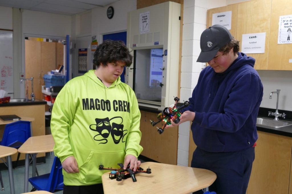
Kinuso School has added a drone class becoming the first High Prairie School Division (HPSD) school to do so.
Students who complete the course will get five high school credits, three college credits, and a basic drone licence, says Trevor Heal, who teaches the course.
Heal is the Kinuso High School Science teacher. He didn’t enter this school year thinking about drones, but that changed. The school received a grant to offer a drone course in collaboration with Lakeland College. Heal was asked to take the training. For two days in November, he and four other HPSD staff took agricultural drone training in High Prairie. Along with learning about drones and how to fly them, he earned his basic drone licence.
Heal describes himself as “a kid in a candy store,” learning about and flying the drones. He has been using them to take photos of Kinuso School events.
Without a drone licence, people can fly drones which weigh between 0-249 grams. A basic drone licence allows people to fly drones from 250 grams to 2 kg.
The Kinuso drone class started the last week in January. The last full week in February they started the dual credit portion. The class is a combination of theory and hands-on learning. The hands-on portion includes building, fixing, and flying drones.
To begin, students are using a drone simulator game and small drones indoors. Drones can not fly outside when it is very cold.
Kinuso School and HPSD have a few different types of drones, which the students will use in the class. The more expensive drones hover better and have more advanced cameras and sensors. Students will be able to fly the more expensive drones once they have their licence.
The theory taught in class includes information about Geographic Information Systems (GIS) and remote sensing.
Drones can be used to make a map of an area, says Heal. It takes a lot of photos as it flies over an area. These can then be stitched together to map out an area, for example, a forestry cut block.
Drones are also used in agriculture to check cattle, plant seeds, or spray chemicals.
A representative from Swan River First Nation spoke to the class about how Swan River would like to use drones to map areas considered for logging, to identify game trails and other areas to be avoided.
Also, to map the areas after logging.
In the spring, the class will go out into the field with Swan River, probably to a cut block. If there is time at the end of May and into June, the students may also learn computer coding, says Heal. This would be to analyzing data which they collect using the drones. If this happens, the students could earn one or two more high school credits.
The high school credits are Career and Technology Studies (CTS) credits. The college ones are through Lakeland College, but will likely be accepted by most colleges and universities.